01
Designed for the role
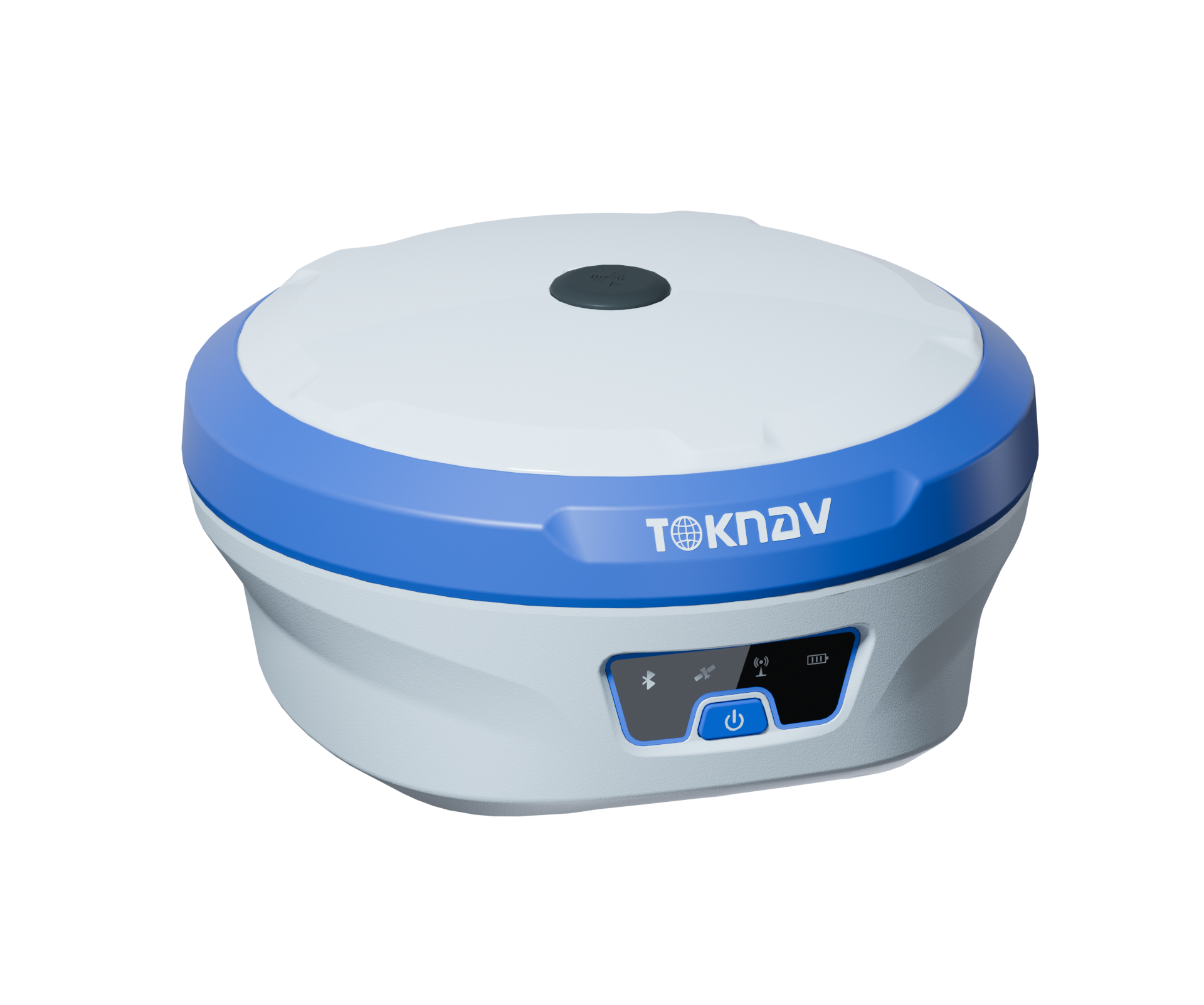
T30 is designed as a laser-measurement GNSS RTK receiver for survey and AR stakeout.






1
Share:


Specifications
SKU: Toknav T30 GNSS RTK Receiver
T30 is a TOKNAV laser-measurement GNSS RTK receiver for survey and AR stakeout for professional field workflows. The page presents the key published values and application context available for this model.
T30 is a TOKNAV laser-measurement GNSS RTK receiver for survey and AR stakeout for professional field workflows. The page presents the key published values and application context available for this model.
T30 is a TOKNAV laser-measurement GNSS RTK receiver for survey and AR stakeout for professional field workflows. The page presents the key published values and application context available for this model.
PRODUCT DECISION PATH
This page keeps the product decision focused on a verified model record, its intended application and the project details needed for a useful recommendation.
FIELD WORKFLOW
The steps below explain the operating decision path. Project procedures, safety requirements and final acceptance criteria remain the responsibility of the project team.
A model name is only the starting point. A useful configuration considers the work method, output, integration, country of use and available supporting equipment.
Define the project task and operating environment before selecting accessories or options.
Review compatibility with any receiver, controller, software, vessel, machine or workflow already in use.
Send the destination country and project requirement for a focused product recommendation.
Inquiry - Toknav T30 GNSS RTK Receiver
Our products include a wide range of GPS systems, total stations, digital theodolites, automatic levels, line lasers, and surveying accessories.

angengyeap


